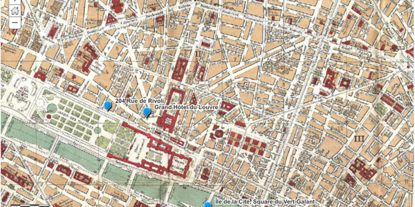
The phrase “spatial art history” is definitely a mouthful, but its meaning is simple: using digital methods and tools to show where something is located in space. Think the placement of points on a map, or visualizing the steps in a journey. As a discipline, art history is ideally suited to spatial thinking, because most of the cultural production we study-from its creators, objects structures, and sites-can all be situated “in space,” even if the location is transient or mutable over time.
However, this doesn’t mean that all art history research warrants spatial exploration, even if a spatial component exists. Like any foray into digital art history, clear reasoning for why spatial inquiry fits into the scope of a project is a primary consideration. Questions to ask yourself include:
- Does my project have a spatial component that would be difficult to describe or represent in written or verbal form? Would using digital tools to visualize my research in space help my audience better understand it?
- Could the analysis of my research be aided by spatial representation? For example, would placing locations on a map help me understand something I couldn’t otherwise, or potentially generate new questions for further inquiry?
If the answer is “YES” to either or both of these questions (or maybe, or even no!), continue taking in this tutorial page on spatial art history!


